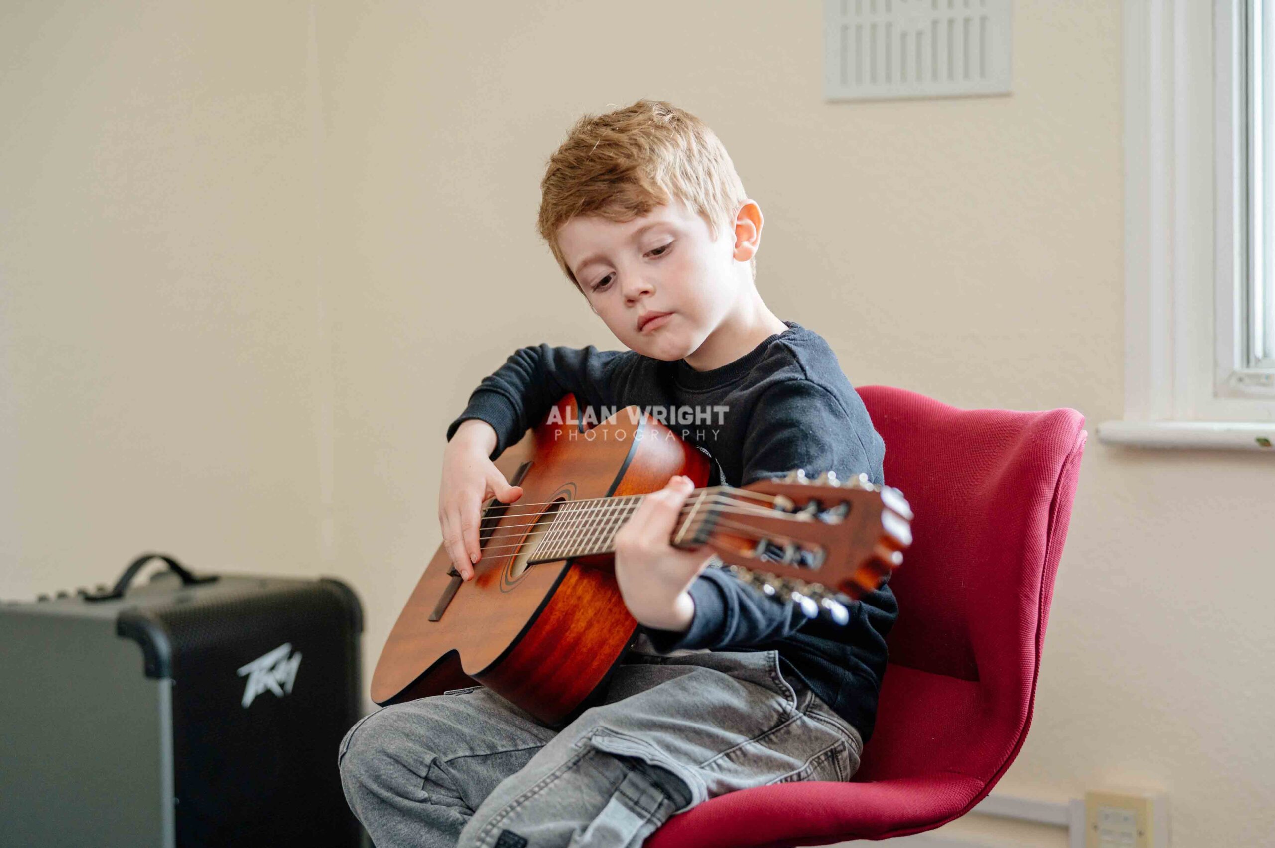
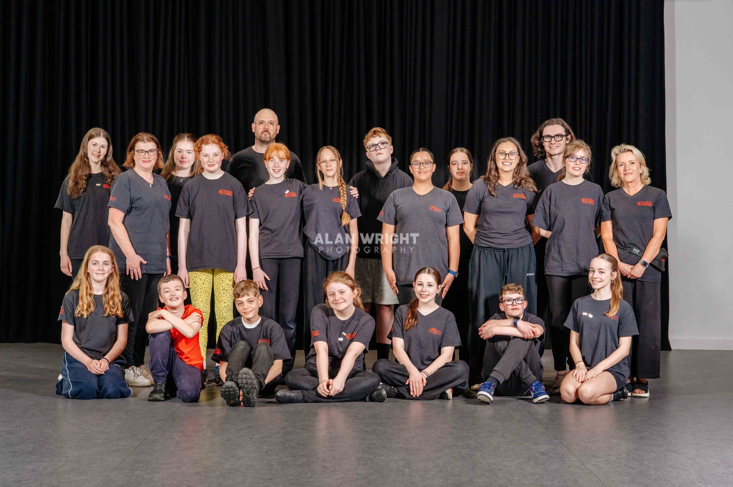
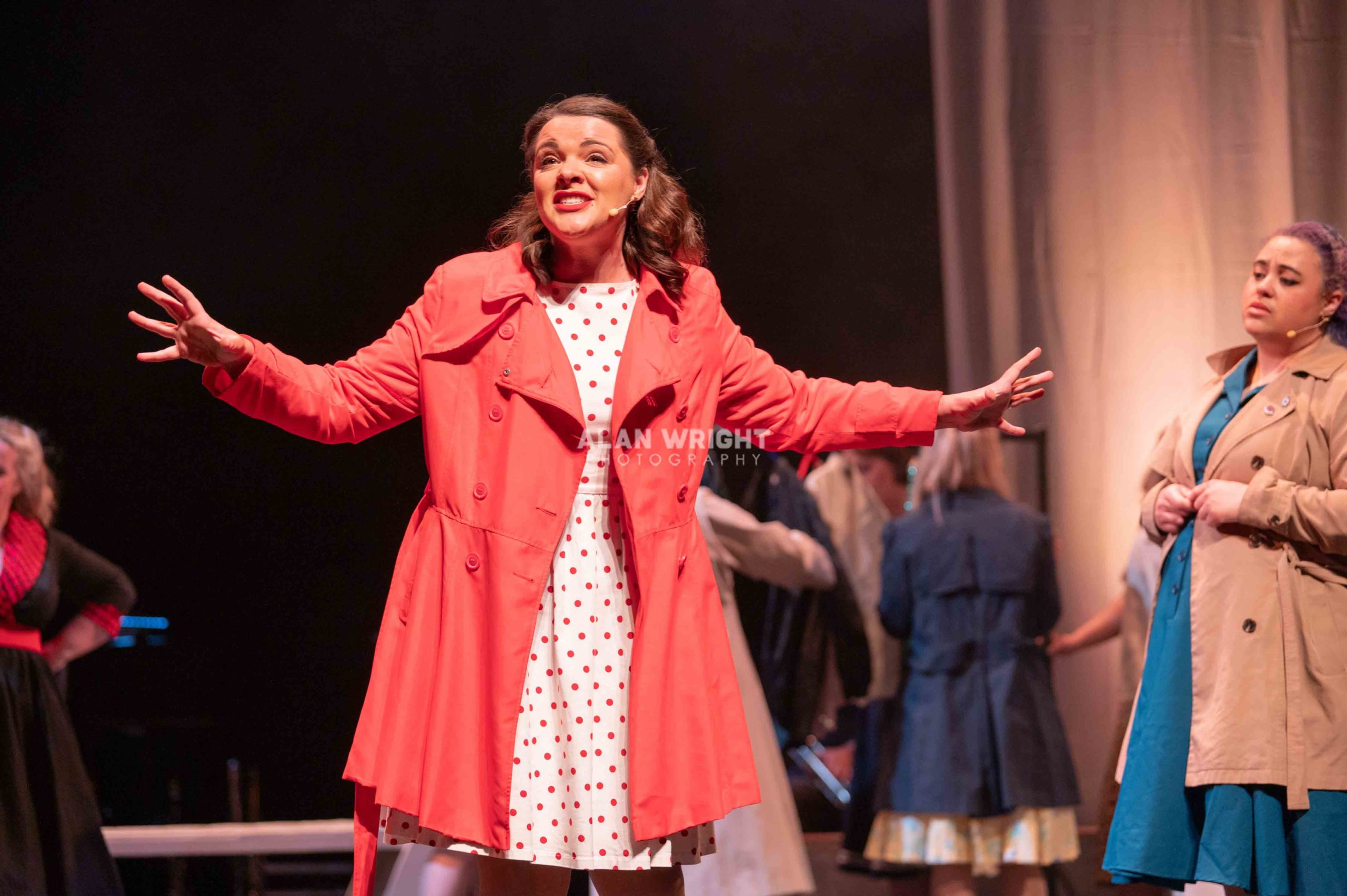
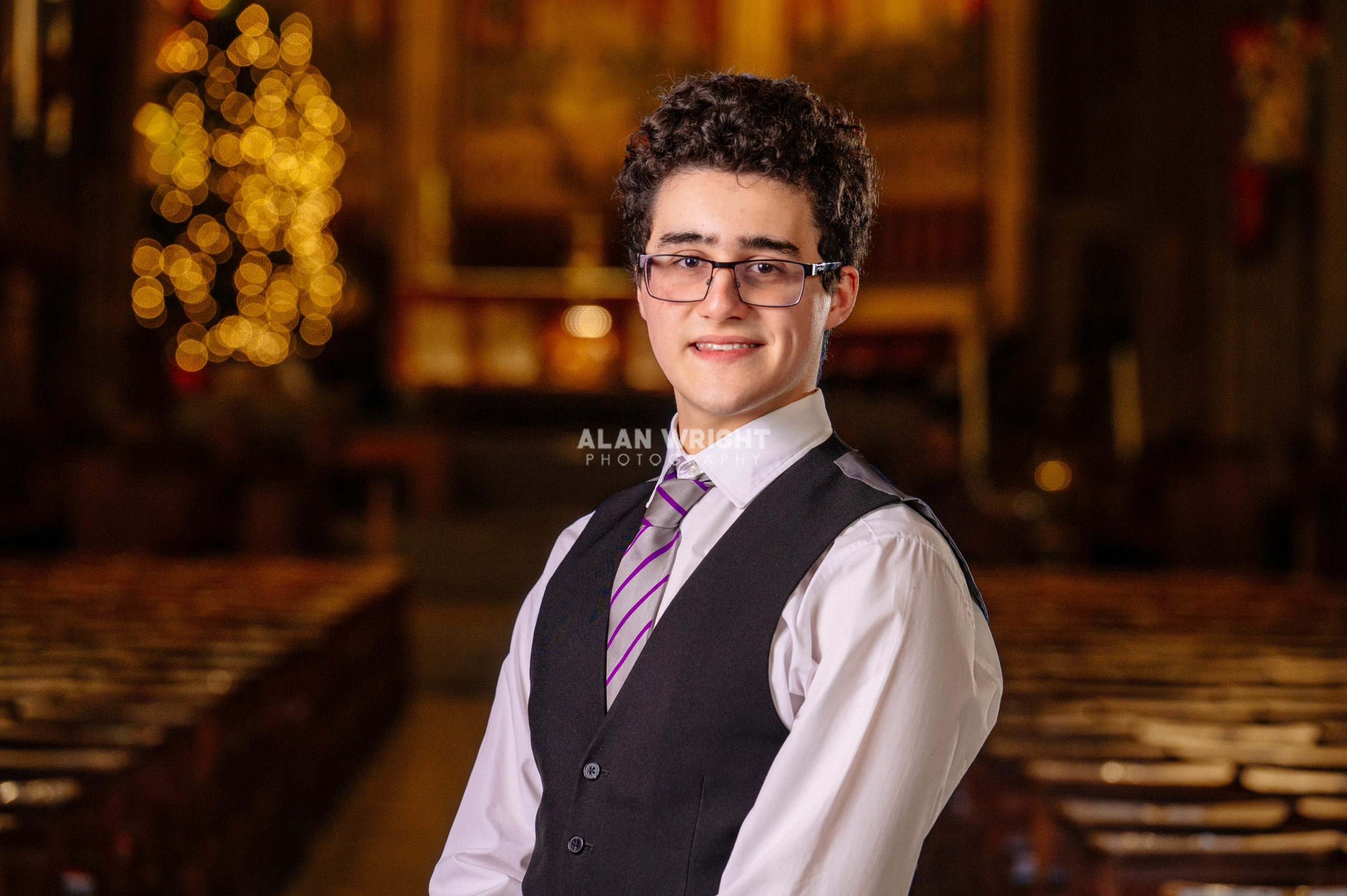
01403 878 026
01903 892 899
editor@aahorsham.co.uk

The Story of St Leonard's Forest

St Leonards Forest

If Horsham is the dominant factor in your ‘places I’ve lived’ pie chart, then chances are St Leonards Forest will have provided you with many memories.

For me, it’s the place where my friend Gary and I stumbled upon a group of ‘glue sniffers’ which was then (the late 1980’s) a primary source of moral outrage for Daily Mail readers. I spent many evenings during the summer playing ‘manhunt’ or taking on the ‘mud slide’ with dozens of other Forest School boys. It is also the place where I first kissed the girl who would become my wife.

As a boy growing up in Roffey for a time, I didn’t really care for the myths and legends associated with the nearby forest, although generally speaking the children of the Manor Fields estate were fairly certain that there was no dragon. However, there was some circumstantial evidence to suggest that there might be a Headless Horseman!

I also didn’t really care too much about the history of the forest, why it is so named, and where exactly St Leonard’s Forest ends and Leechpool Woods begins. Owlbeech cropped up along the way at some point to confuse matters and as a consequence I cared even less.

But there is a fascinating story behind the forest...

St Leonard’s Forest was first documented in 1208, although it was technically speaking a ‘chase’. The Lords of the forest were the De Braose family, and they built a chapel dedicated to a French hermit saint who was said to have lived in the forest.You can probably guess what his name was…

Saint Leonard was popular with the Benedictines, the order that owned Sele Priory, which was then located in Beeding. There’s no evidence to prove this French hermit ever came to Horsham, let alone killed a dragon here, but that’s the best story we have.

We don’t know exactly when it was first deemed a forest, but in all likelihood it was the De Braose family who decided to create St Leonard’s Forest out of the woodland, probably when King John granted them freedom from royal interference.

To be deemed a forest, there had to be administrative courts to adjudicate and administer forest laws, so the family set up courts to administer the woodland as a forest. You won’t be surprised to discover that, 800 years ago, the forest was much bigger than it is today. It once formed part of a continuous tract across the central Wealden ridge of Sussex. These in turn were part of the great forest of Andereswald, inhabited by deer, wolves and wild boar.

By the 14th Century, the Howard family had taken over the forest land, and continued the woodland courts and maintained the status of St Leonard’s. The forest was protected, at least until the Howard family fell out with the Crown in the 16th century and it was plundered. More on that soon…

During the 14th and 15th Century, there seems to have been a barrier around the whole of the forest with internal barriers creating distinct areas known as ‘bailiwicks’. Various place names ending in ‘gate’ including Parkgate and Peppersgate on the southern boundary of the parish and Monks Gate in the south west indicate that they were access points on the boundaries of the forest.

Other gates may refer to entrances in the bailiwicks, for example Faygate, Colgate and Grouse Gate. Perhaps the best-known ‘gate’ is Monks Gate.

All the evidence suggests that by the late 15th century the forest had been divided into several wards or bailiwicks including Roffey, Bewbush, Alkynburne (perhaps Hawksbourne in Horsham) in the north, Hyde and Shelley in the east; Gosden and Patchgate in the south, Horningbrook in the west and Whitebarrow (described as near Issacs Croft, presumably in Nuthurst), Horestock (near Swallowfield in Nuthurst), New Park, Rickfield, Sedgwick and Chesworth in the south west, with Knepp being on the outskirts.

By the 16th century St Leonard’s was generally agreed to have a circumference of between 25 and 30 miles, marked off by a paling fence to discourage the several hundred deer from getting out. The forest as a whole still had an outer pale and there were internal divisions between the bailwicks.

It’s always been home to a number of classical English woodland animals. The fallow deer, which are still a common sight today, were introduced by the Normans in the 12th century to hunt or to create further revenue. By the end of the 12th century rabbits, hares, pheasants and herons had been recorded in the forest, and 50 years later cattle as well as swine were being pastured in the forest.

In 1553 there were said to be no deer other than game in the forest, though red deer were mentioned in 1584.
The animals of the forest inspired many local place names. Cowfold suggests the importance of cattle to the area, with the village name, and the place name of Horsham alone suggests that wild horses bred on the forest edge. Stray mares were documented in the 16th century.

And it was in this century, one of great political turmoil, that St Leonard’s came under the greatest threat. Not from the rapidly-growing iron industry or forest farmers, but from the monarchy.

There has been an assumption that the destruction of woodland was caused by the Wealden iron industry, but this clearly was not the case. It’s true that the Weald was the most important iron-producing region in the British Isles at this time, and nearly 800 iron-making sites have been identified in the Weald.

Many of the lakes and ponds used to generate water still exist today (several were featured in the April edition of AAH).

The wealth generated by the iron industry funded grand houses and parklands, but no iron master would destroy woodland as it was essential for the production of the iron. Instead, the woodland was farmed and managed. It has been estimated that at the height of its activity the Wealden Iron industry required around 220,000 acres of coppiced woodland, around a quarter of the total area of the Weald. 

Any Iron master would not destroy the key to the furnace - a sustainable supply of wood.

Instead, St Leonard’s forest was devastated by Queen Elizabeth, or at least the political machinations of her courtiers.

It could have been far worse though. The nobleman and politician Thomas Seymour, who had by this time acquired some of St Leonard’s Forest, suggested that a new town should be built in the forest. But when he was executed for treason, the plan died with him.

In the end, it was the demand for timber that altered the forest landscape forever. When Elizabeth came to the throne there was a strong demand for timber. In 1562-3, the Queen bought the Forest from the Howards (who owned most but not all of the land). They had little option but to sell in return for a long lease on equitable terms.

After passing ownership of the forest to Elizabeth, warrants for timber for buildings were being granted irrespective of any previous agreements. Roger Tavener, the deputy surveyor of woods, came forward with a management plan that suggested the woods could produce 50 loads a year for 100 years.

He noted that the forest was well supplied with desirable timber, especially oak and beech “of a very great age and of a great length” but it did not regenerate because of the wind on the exposed slopes.

The Queen did not listen to Tavener’s management plan. He tried to defend the forest, and brought suit against Roger Gratwick and others for executing the warrant from the Queen for 1,000 trees. The Queen had also granted a further 1,000 to trees to Mr More.

These trees went to building Gratwick’s dwelling house, Horsham Mill, the schoolmaster’s house (Collyers) and a number of small cottages.

The situation was deteriorating rapidly; George Hall and Sir Thomas Shirley were given a warrant for timber in 1579 and another warrant for great timber in 1580. In the first warrant, Sir Thomas had been given 2,000 cords of beech, birch, and oak yearly from St Leonard’s for £60 and a rent of £66 13s 4d. The second warrant granted a further 2,000 cords.

In addition, records show that George Hall cut 60,981 cords for himself from 1579 to 1598, a further 4,035 for John Middleton and 10,000 for Roger Gratwick, producing a total of 75,016, leaving only 696 cords standing.
Eventually, interest in the plundered forest declined as the trees left standing were not economically viable.

The land eroded and no replanting took place. This led to the deer leaving and in turn the keepers did not maintain the pales. The depleted forest was, in ecological terms, changed forever.

A broadside was published in 1614, describing a ‘serpent’ said to live in St Leonard’s Forest, describes the area as wooded densely enough to hide the beast.  This suggests that the area was covered in scrub shrubs, ash and thorn, rather than majestic oak trees.

By the end of the 16th century St Leonard’s Forest could be more accurately described as St Leonard’s Wood as it could no longer maintain the fauna that defined it as a forest. But worse was to come, in the unlikely shape of the rabbit!

There have been some bad, evil rabbits through history. There was the murderous rabbit from Caerbannog, seen in 1975's Monty Python and the Holy Grail, which killed several knights, and of course General Woundwart from Watership Down. But few have been as destructive as the rabbits of Horsham in the late 18th century!

They managed to drastically curtail the regeneration of the woodland by eating young shoots, whilst rabbit breeders burnt the heath land for their food. St Leonard’s became dedicated to rabbit breeding, and by 1787 just one of the several warrens was said to contain 12,000 rabbits in 598 acres.

By 1800 the centre of the former forest was largely heathland, with isolated pollarded beeches and oaks, and some wooded areas such as Holmbush. It was bleak and miserable.

The scale to which deforestation had occurred can be seen in the horse races held between 1834 and 1840 on a course 1.5 miles long to the west of St Leonard’s House. The races were recorded by Henry Burstow in his Reminiscences of Horsham, which can be found at Horsham Museum.

But things were to improve. A remarkable afforestation project took place, and today we are seeing its effects as the trees mature. The sheer scale is hard to comprehend, but at Holmbush over a million trees were planted including larch, fir, oak, and sweet chestnut.

The unusually named Mick Miles Race – a long avenue of trees south west of Colgate - was laid out, perhaps by Michael Miles, who is recorded living in the area in 1720. You can easily walk or ride along the Mick Miles race, as it’s accessible from the Forestry Commission car park at Roosthole, near the Horsham Rugby Club entrance.
The avenue blew down in 1836 and was then replanted, creating a popular Victorian attraction beloved by
photographers and writers of myths.

Gradually, the St Leonard’s area appealed to the landed gentry to create ornamental parks and gardens. A canal was created at St Leonard’s House, and Leonardslee gardens grew out of the first half of the 19th Century when an ‘American’ Garden was created. After 1850 it was extended by the Loder family, whilst the Beauclerks
developed South Lodge.

Later, gardens and parks were created at Sedgwick and a string of other houses including Carters Lodge and Plummers Plain House.

Today, the forest covers about 12 square miles in area, with a large area of heathland, broadleaf woodland and
coniferous forest. It is primarily important because of the large areas of heathland. West Sussex County Council manages about 20 hectares of heathland under a Countryside Stewardship agreement with DEFRA.

The forest tracks are used for leisure by walkers, joggers, horse riders and cyclists. Whilst motorbikes are not allowed, the Horsham Riders meet regularly on a privately owned part of the forest near to Mannings Heath.
Most visitors tend to go to Leechpool and Owlbeech Woods, where the main access point is off the Harwood Road. A sculpture trail was created through these woods in 2010, which has proved extremely popular with young visitors.

The trail, funded through the Weald Forest Ridge Landscape Partnership Scheme, includes huge willow sculptures of a dragonfly, squirrel, adder and butterflies. One of the sculptures, of Gertie the dog, made local news headlines when it was stolen!

Leechpool is an ancient woodland covering 53 acres and includes Oak, Ash, Hazel, Hawthorn, Holly, Blackthorn, Sweet Chestnut and Scots Pine. Owlbeech, meanwhile, consists of 55 acres of remnant heathland which is being encouraged back to its former glory, now with the help of two grazing llamas.

An archaeological survey of St Leonard’s Forest was undertaken during 2010/2011 for Forest Enterprise to review its historic importance and to provide conservation and management recommendations. The survey found that St Leonard’s Forest retains some interesting archaeological features in the mine pits and pillow mounds.

The mine pits were the source of ore for the 16th century iron-works, whilst the pillow mounds are surviving remnants of the Great Warren that stretched from the southern to the northern boundary during the 17th
century.

No evidence of any dragon, living or dead, was uncovered. But St Leonard’s will nonetheless always possess mystique for its association with mythical beasts, its chequered relationship with the iron and timber trades, and its continuing struggle to recover.

blog comments powered by Disqus